

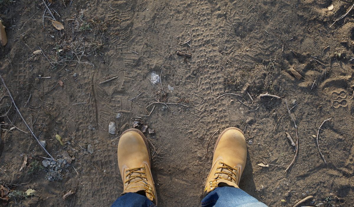
Scafell Pike is the highest ground in England — 978 metres of Lakeland rock rising above Wasdale, Eskdale and Borrowdale. Most people take it on from Wasdale Head, up the broad and badly eroded tourist path. A far better day out starts in Borrowdale and climbs via the Corridor Route: a long, airy traverse beneath the crags of Great End, with proper mountain scenery and a fraction of the company.
Why Choose the Corridor Route?
Roughly 9.5 km (6 miles) and 950 metres of ascent from Seathwaite, taking most walkers five to seven hours there and back. It is not a technical climb and there is nothing on it that needs ropes in summer conditions, but it is a genuine mountain day. You get steep pitched paths, a river crossing, a short rock step, and a summit plateau that can be in cloud while the valleys bask in sunshine.
The Corridor Route also rewards you with variety. Where the Wasdale path is a single relentless grind, the Corridor weaves, dips and traverses, opening up views into Piers Gill and across to Lingmell and the Gables that you simply do not get from the other side.
The Approach: Seathwaite to Sty Head
Park at Seathwaite in Borrowdale — the roadside spaces fill by mid-morning in summer, so aim to be booted and walking by eight o'clock. Follow the track past the farm, over the stone arch of Stockley Bridge, then pick up the pitched path climbing beside Grains Gill. It is steep in places but well built, and it delivers you to Sty Head Tarn in about an hour.
The tarn is a fine spot for a breather and a look at the weather coming in off the coast. If the cloud is already sitting low on Great End, ask yourself honestly whether you know the route well enough to navigate it in mist.
The Corridor Route Itself
From Sty Head, leave the main Esk Hause path and follow the clear trod traversing leftwards beneath the crags of Great End. The first section is easy, enjoyable walking across the head of Wasdale, with the ground falling away steeply to your left.
The path then crosses the head of Piers Gill — a deep, black ravine that cuts into the hillside. The crossing is eroded and can be slippery after rain; take it steadily and do not be tempted to peer over the edge.
Beyond that comes the short rock step known as the bad step. It is only a few metres, but it is polished by thousands of boots and awkward to descend, which is how you meet it coming up from Borrowdale. A well-worn bypass path skirts it to the left as you face the rock. There is no shame in taking the bypass, particularly in the wet or with a heavy pack.
Past here the path climbs steadily to Lingmell Col, where you join the main Wasdale path for the final push. The last 200 metres of ascent is steep, loose and bouldery, marked by cairns. Keep to the cairns, watch your footing, and you will find yourself on the summit plateau with its trig point, shelter and, on a clear day, views to Snowdonia, the Isle of Man and the Southern Uplands.
The Tricky Bits and How to Handle Them
- The bad step: short but greasy when wet. Take the bypass path if in doubt, and never rush it with tired legs on the descent.
- Piers Gill crossing: eroded ground above a serious drop. Cross one at a time if the party is large.
- Navigation in cloud: several faint trods branch off the main line and lead towards scrambling ground. Carry a paper map and compass and know how to use them.
- The descent: the boulder field above Lingmell Col is punishing on knees. Poles help enormously.
Timing and Weather
Allow six hours as a minimum, seven or eight if you are leading a mixed-ability group or stopping for lunch on the summit. Start early, keep an eye on the fell forecast for wind speed and cloud base, and remember that conditions on the top can be ten degrees colder than in the valley, with gusts strong enough to knock you off balance.
In winter, the Corridor Route becomes a proper mountaineering proposition requiring an ice axe, crampons and the experience to use them. If in doubt, save it for summer.
A satisfying alternative to retracing your steps is to descend via Esk Hause and Grains Gill, making a full horseshoe back to Seathwaite. It adds distance but avoids re-climbing the bad step.
What to Pack
- Sturdy boots with ankle support and a decent tread
- Waterproof jacket and trousers, plus a warm mid-layer, hat and gloves
- Map (OS Explorer OL4 and OL6, or a dedicated fell map) and a compass
- Headtorch with spare batteries
- 1.5 to 2 litres of water and plenty of food
- First aid kit, whistle and an emergency shelter or blizzard bag
- Fully charged phone with offline mapping downloaded — do not rely on signal
- Sun cream and midge repellent in summer
Tell someone where you are going and when you expect to be back. Pack as though you will be self-sufficient, because on the Corridor Route you very nearly are — and that is precisely what makes it such a good day out.


Coding is used in almost all aspects of life and work now, be it directly or indirectly. It’s not just for companies in the tech sector. “An increasing number of businesses rely on computer code,
Coding is used in almost all aspects of life and work now, be it directly or indirectly. It’s not just for companies in the tech sector. “An increasing number of businesses rely on computer code,
Coding is used in almost all aspects of life and work now, be it directly or indirectly. It’s not just for companies in the tech sector. “An increasing number of businesses rely on computer code,